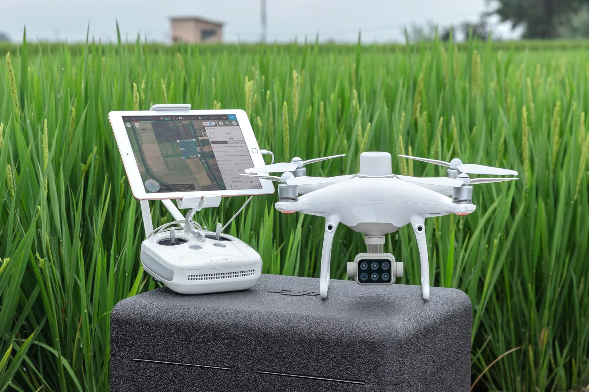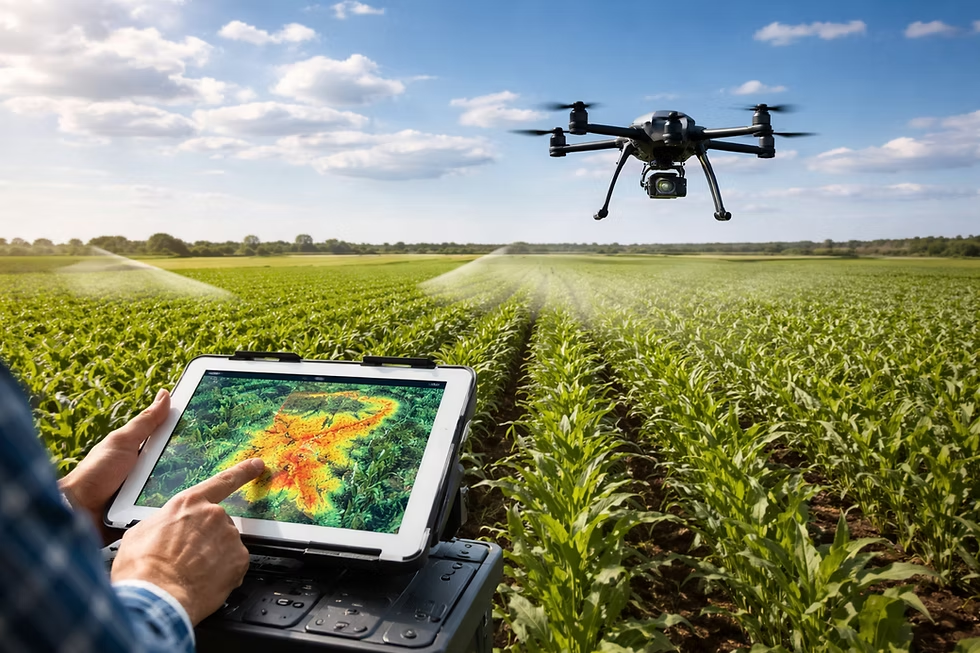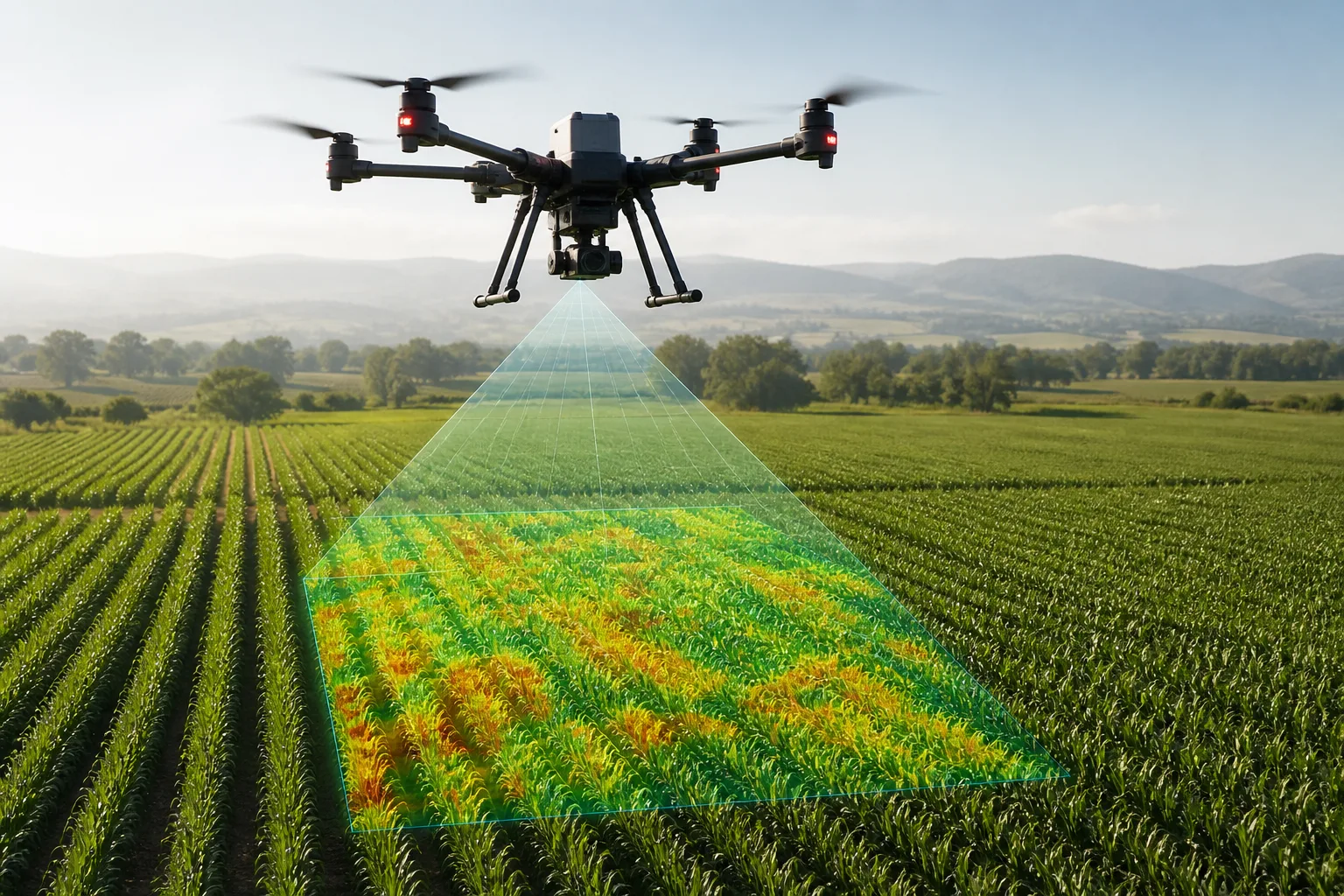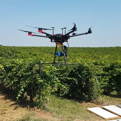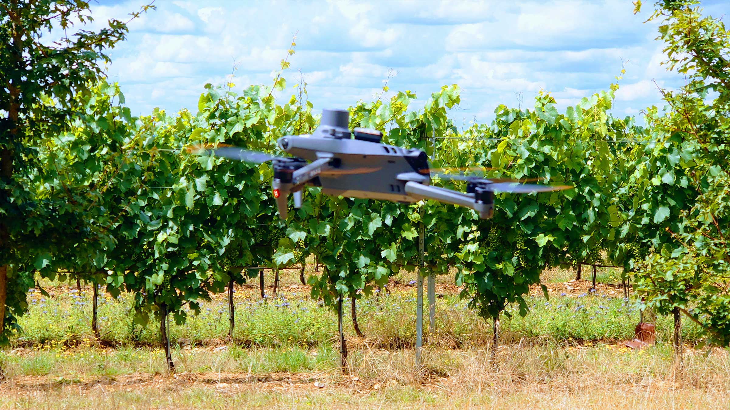

Aerial imaging helps identifying nitrogen deficiencies and pest infestations two weeks before visual symptoms appear.
High-Resolution Vegetation Index Maps
Targeted Fertilizer Application
Flight scans generate NDVI maps that pinpoint specific field sections requiring nitrogen boosts, preventing whole-field over-fertilization.